


Rough Grading to Spec in Austin & the Texas Hill Country
Graded to your plan, not just leveled.
Clear Ground cuts and fills residential lots to your engineered drainage plan in Austin and the Texas Hill Country. Rough grading runs $2,500–$8,000 per lot, with rock adding to the total. Most lots take one to three days on site. Finish grade is checked against your plan before we hand the site to the next trade.
What is rough grading?
The grade your engineer
specified, checked.
Rough grading cuts and fills a cleared site to the engineered drainage plan. It sets the major contours and the subgrade before the foundation, pool shell or hardscape goes in. Finish grading is the fine work after construction: final topsoil, lawn prep and landscape grade. We do rough grading. A landscape contractor usually does finish grading. For the finish-grade, swale and corrective-regrade version of the work, see grading and drainage prep.
A level-looking lot and a lot that matches the plan are different things. We work from your plan's spot elevations, check the finished surface against them, and fix high and low spots before the next trade arrives.
The most efficient way to buy grading is bundled with lot clearing in one mobilization. Bigger pad-prep jobs with engineered fill go to site prep and pad prep.
Graded vs.
graded and checked.
Our drone scans measure surfaces, quantities and grades. They are not a boundary survey or a sealed survey by a licensed surveyor, and a drone cannot see below the ground surface.
How it works
HOW DOES A ROUGH GRADING JOB RUN?
BEFORE GRADING
STEP 1
WE READ THE PLAN AND WALK THE LOT.
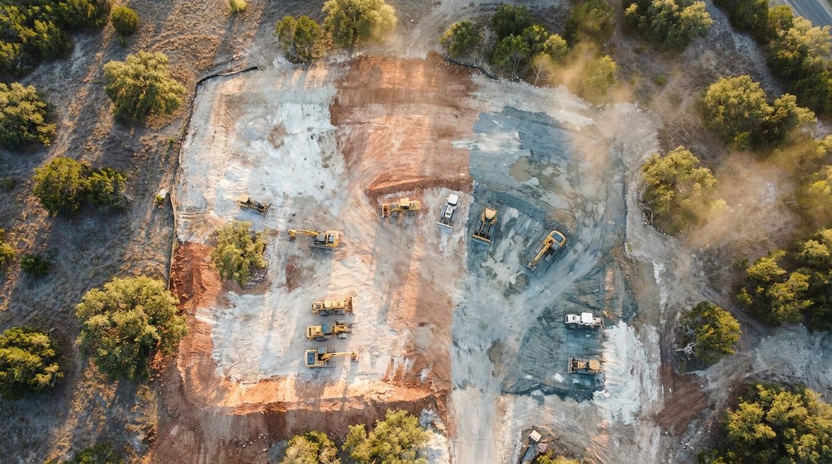
We start from your engineered drainage plan: design elevations, flow directions, swales and retention features. We walk the lot, note existing grades and compare them with the plan to work out where cut and fill go. On larger lots an optional drone topo scan gives a surface model to run the numbers against. The volumes are estimated before we mobilize.
DRAINAGE PLAN · SITE WALK · CUT AND FILL ESTIMATE · OPTIONAL DRONE TOPO
GRADING
STEP 2
COMPACT RADIUS. GRADE TO PLAN.
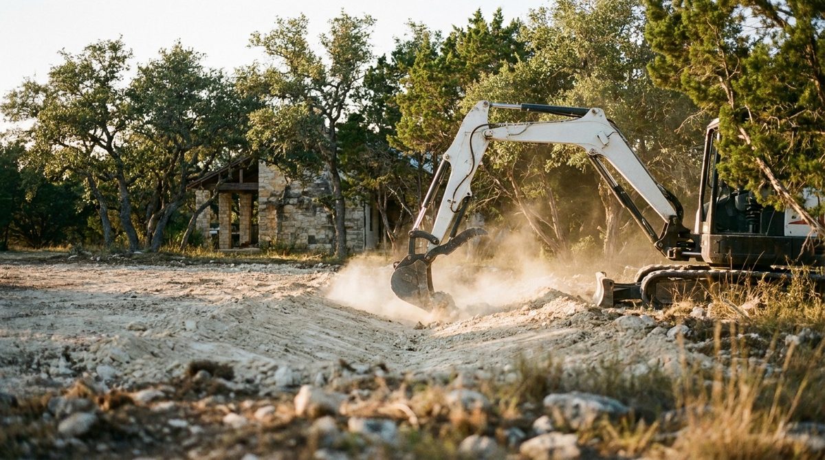
The CAT 305.5E2 compact-radius mini excavator is the grading machine for residential and infill lots, since its compact radius lets it work close to structures, property lines and flagged root zones. The CAT 299D3 XE compact track loader spreads material. Swales, drainage slopes and retention areas are shaped to your plan.
CAT 305.5E2 · CAT 299D3 XE · SWALES · DRAINAGE SHAPING
CHECKING
STEP 3
CHECKED AGAINST THE PLAN.
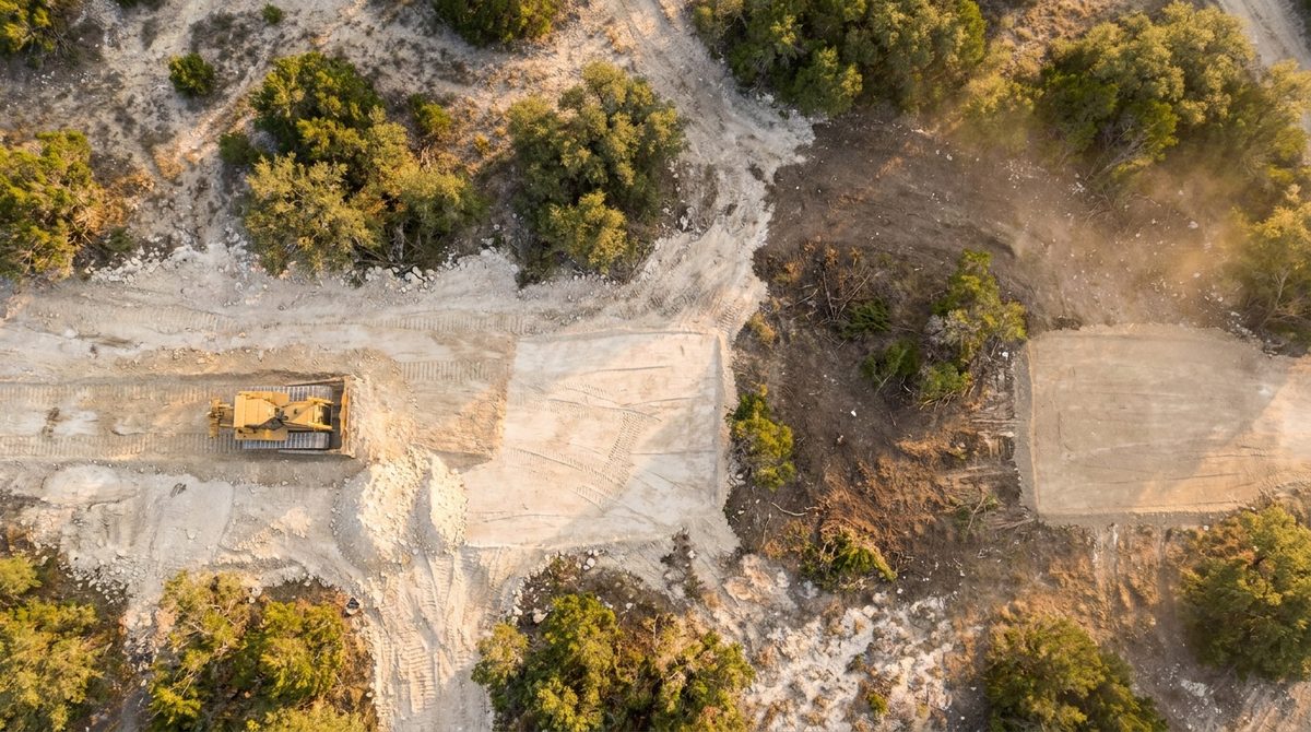
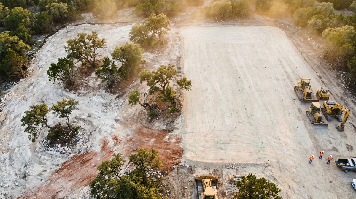
On multi-day jobs we check elevations against the plan partway through, so a section running high or low is corrected in the current pass and not after the concrete truck is scheduled. Final checks use a laser level or rod at the plan's spot elevations. Tolerances come from your engineer's plan.
MID-JOB CHECK · FINAL SPOT ELEVATIONS · CORRECTIONS IN THE SAME PASS
HANDOFF
STEP 4
THE SURFACE YOUR NEXT TRADE USES.
You get a walk-through and a before-and-after photo record. If you added a drone topo scan, you also get a surface model and cut/fill quantities, typically 2–3 business days after the flight. Your engineer still signs off on drainage compliance, and a sealed as-built comes from a licensed surveyor.
WALK-THROUGH · PHOTO RECORD · OPTIONAL SCAN · ENGINEER SIGN-OFF
How much does rough grading cost?
$2,500–$8,000 per lot.
to Spec
Equipment: CAT 305.5E2 mini excavator · CAT 299D3 XE compact track loader
Includes: site walk · cut/fill estimate · before-and-after photos
Prices reviewed: September 2026. Ranges for Austin and Central Texas; your site walk sets the final number. See all pricing or the land clearing calculator.
Grading is usually phase three.
The iron behind
the grade.
Who needs rough grading
done to a plan?
The lot was cleared by someone else and the grade was eyeballed. We grade to the plan and check it before your crew mobilizes, so drainage is right before your concrete schedule is locked.
A failed drainage review adds weeks and carrying cost. We grade to your engineer's plan and give your engineer photos and, if you add a scan, a surface model to check compliance before submission.
When you take a site over from a clearing contractor, the grade is usually undocumented. Our handoff records where the grade landed so your foundation, framing or landscape crew starts from something written down.
Optional cut/fill quantities from a drone scan
Rough Grading Questions
The grade your engineer
specified, checked.
We read your plan, walk the lot and send a written quote. Written quote within 48 hours of the site walk. Call (512) 880-8888.