


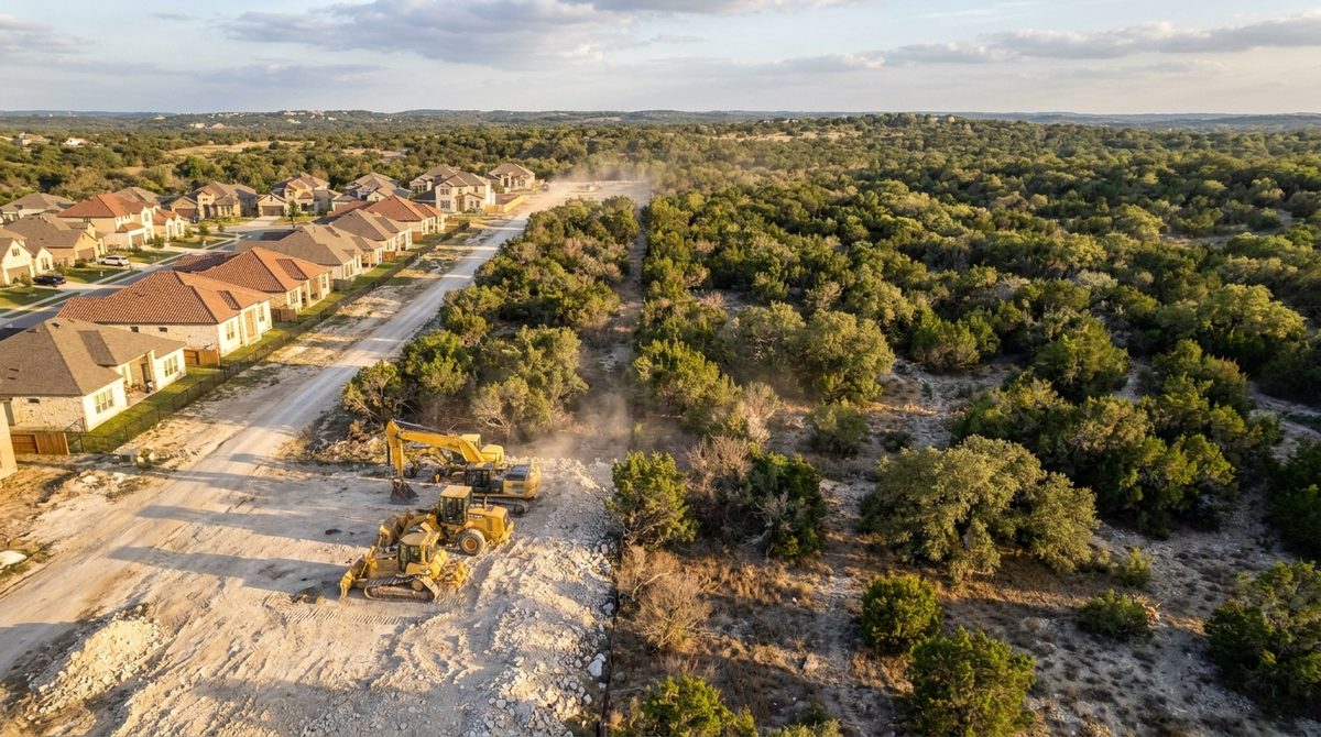
If your neighborhood sits where developed land meets brush, cedar or grassland, you are probably in what fire agencies call the Wildland-Urban Interface, or WUI. Here is what it means, how to look up your own address and what to do about it.
In this guide
What is the Wildland-Urban Interface?
The WUI is where homes and developed land meet or mix with wildland vegetation. In plain terms, it is where neighborhoods sit next to, or inside, areas with enough vegetation to carry wildfire.
Fire agencies use the term because vegetation around a home can give fire a continuous path from wildland to structure. A house with brush and cedar right up to its walls gives fire an easy path. How close the fuel is matters more than how far away the fire started.
How do you know if you're in the WUI?
The clearest signal is geography. If your lot backs onto open land, woods or grassland, you are likely in or near a WUI area. To check, use these steps.
Look up your address
Four steps
- 1. Open TxWRAP. The Texas Wildfire Risk Assessment Portal is run by Texas A&M Forest Service.
- 2. Enter your address in the search box, then zoom to your lot.
- 3. Read the layers. Look at the wildland-urban interface layer and the wildfire risk layers for your parcel. Screenshot what you see with the date.
- 4. Cross-check. The USFS/SILVIS WUI data maps WUI areas nationwide. Then ask your county fire marshal or local fire department, and your insurance agent.
A map result is a guide, not a ruling. Your insurer uses its own risk model, and it may not match the public maps.
What does WUI status mean for your property?
Three practical things to know.
Insurance
Some carriers weigh nearby vegetation when they write or renew a policy. That can show up as a higher premium, lower limits or nonrenewal. See the wildfire insurance guide and ask your agent how your carrier treats your address. This is not insurance advice.
Rules
Texas has no statewide defensible-space mandate. Inside Austin city limits the City's Wildland-Urban Interface Code applies. Outside it, check your county, fire district and HOA.
Property value
Buyers and lenders may ask about fire risk, and a lot with a clear record of mitigation is easier to discuss than one without. We can't quantify the effect on price for your home. Talk to your agent or appraiser.
"Look up your address before you look up a contractor. Know the risk, then decide what to do about it."
— Cody Baird, Owner
Not sure what your lot needs? We walk the property, mark the zones and give you a written quote. Clearing runs $3,000–$4,500 per acre. See pricing or use the land clearing calculator.
Request a Quote →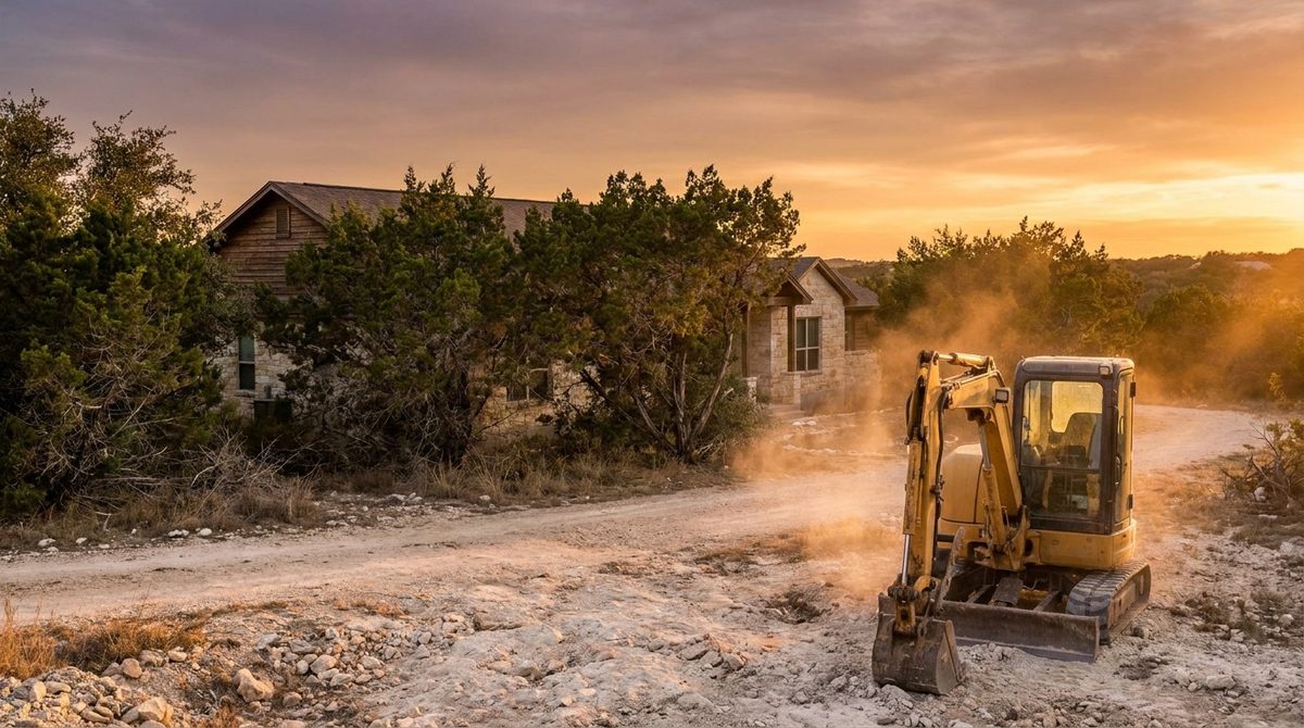
What is the fuel in the Hill Country?
Cedar is the main fuel
Ashe juniper (cedar) is the dominant fuel across much of Central Texas. Dense stands carry fire quickly. Cut cedar does not resprout once cut below the lowest green limb (Texas A&M AgriLife), so clearing does lasting work. Mesquite and other resprouters need follow-up.
Firewise USA is a community program for neighborhoods, not a standard for a single parcel. Oaks need timing care: avoid wounding them from about February through June (Texas A&M Forest Service).
What can WUI homeowners do?
Being in the WUI calls for a plan, not panic. Four steps.
Confirm your classification
Use the TxWRAP steps above, then ask your county fire marshal or local fire department.
Clear by zone
Remove combustibles from the first 5 feet, thin and clean out to 30 feet, and reduce fuel out to 100 feet. For cedar and brush, forestry mulching does it in one pass with no burning and no haul-off.
Keep a record
Dated before-and-after photos, the written scope and the invoice. Ask your insurer what it accepts.
Schedule upkeep
Vegetation grows back. Yearly upkeep keeps the zones effective. See annual maintenance.
Related services
Frequently asked questions
What is the Wildland-Urban Interface (WUI)?
The WUI is where homes and developed land meet or mix with wildland vegetation. Fire agencies use it to identify areas where wildfire can reach structures.
How do I know if I'm in the WUI?
Look up your address on TxWRAP, the Texas Wildfire Risk Assessment Portal from Texas A&M Forest Service. For a national map of WUI areas, see the USFS/SILVIS WUI data. Your county fire marshal or local fire department can also tell you.
Is defensible space legally required in the WUI?
Texas has no statewide defensible-space mandate. Inside Austin city limits the City's Wildland-Urban Interface Code applies. Outside it, check your county, your HOA and your insurer.
What's the best way to create defensible space in the WUI?
Clear combustibles from the first 5 feet, thin and clean the 5 to 30 foot zone, and reduce fuel from 30 to 100 feet. For cedar and brush, forestry mulching does the clearing in one pass with no burning.
Ready to protect your property?
Get Ahead of
Fire Season.
We clear to the home ignition zones and hand you the photos, scope and invoice. Written quote within 48 hours of the site walk.
Request a QuoteServing Austin, TX · Texas Hill Country
Prices reviewed: September 2026. Ranges for Austin and Central Texas; your site walk sets the final number. Last reviewed: September 2026.